The trail begins at the trail fork located on the grounds of the Ceferino Fonzo Visitor Center, but instead of going left to the viewpoints of the Condors and the Eagles, we follow the signs and go to the right.
The trail is very well marked and most of it goes uphill through forests and pampas.
Approximately at km 4.5 (2.7 mi) the road forks: To the right it goes to the Loma del Pliegue Tumbado, and to the left the road continues for those who want to reach Lake Toro or for those who begin the Cerro Huemul Trek.
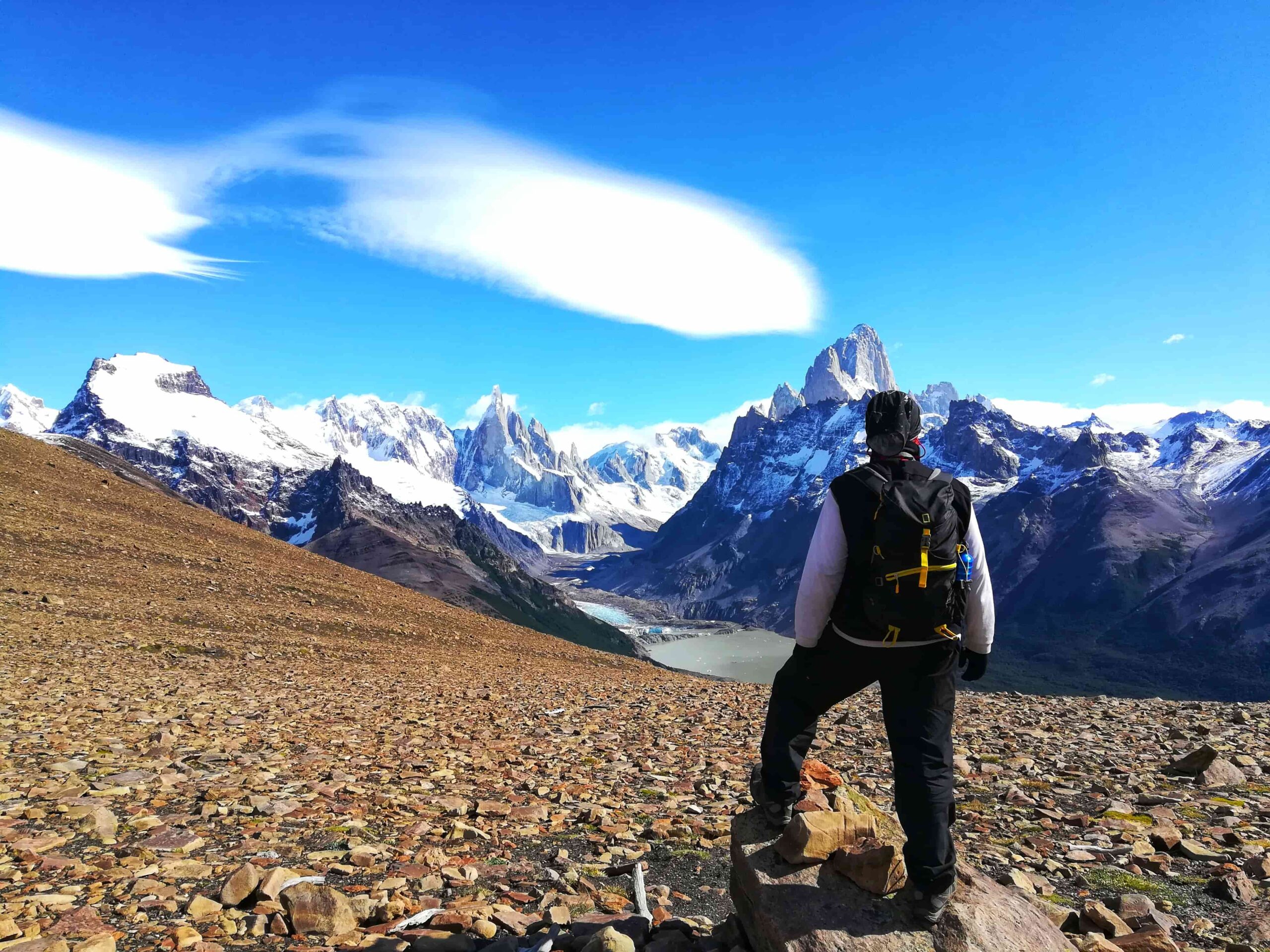
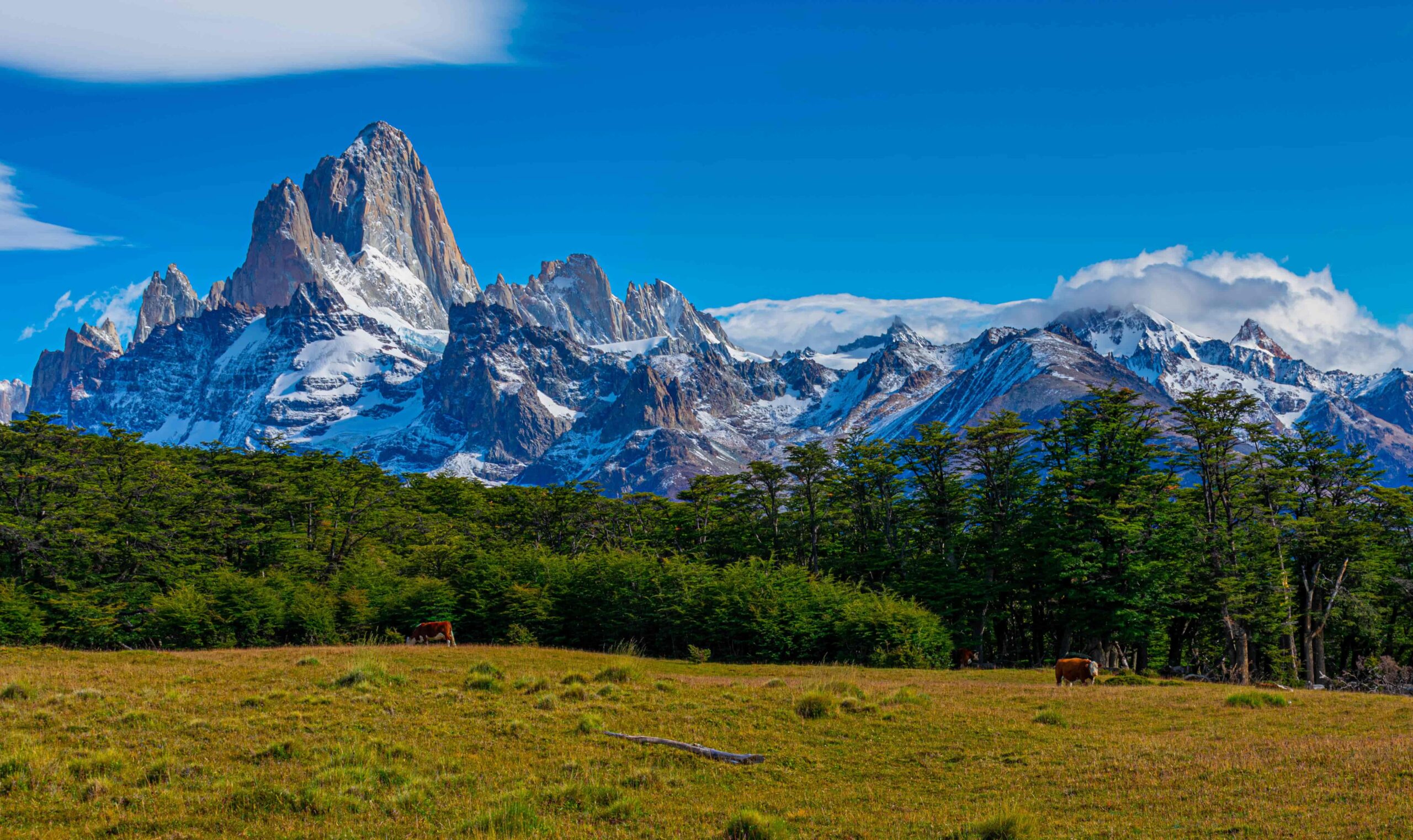
From this point the vegetation practically disappears and we continue the steep ascent. The last effort is a stretch that is made in zigzag and gradually begin to have in front of us the mountain range that will inspire us to move forward.
Total distance (round trip): Approximately 21 km / 13 mi.
Estimated time (round trip): It depends on the physical conditions of each person, but we estimate 7:00 / 8:00 hs in total.
Time: Full day tour. It is suggested to start early in the morning to take advantage of the maximum amount of daylight hours.
See: Recommended weather Apps.
See: How to pack for a day hike.
Before starting any trail, it is recommended to check the weather conditions. Additionally (and depending on the time of year and the type of the hike), it is recommended to check the time of sunrise and sunset.
We recommend the use of the following Apps (or their corresponding desktop version):
- WINDY.COM: Very useful to corroborate wind speed and gusts.
- YR.NO: With this app we will be able to check the temperature and precipitation.
For more info about the weather and alternative Apps: click here.