
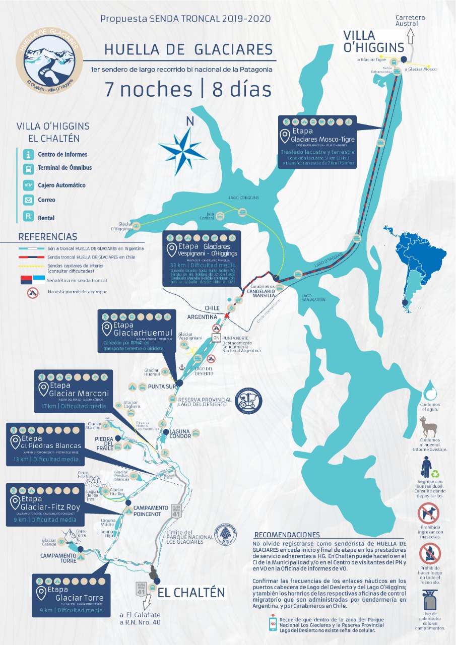
A crossing that is not so well known, but impressive from every point of view. During 8 days and 7 nights you will be able to see glaciers, lakes, mountains and a lot of forest. This journey joins the town of El Chaltén (ARG) with the town of Villa O’Higgins (CHI) and can be done in both directions.
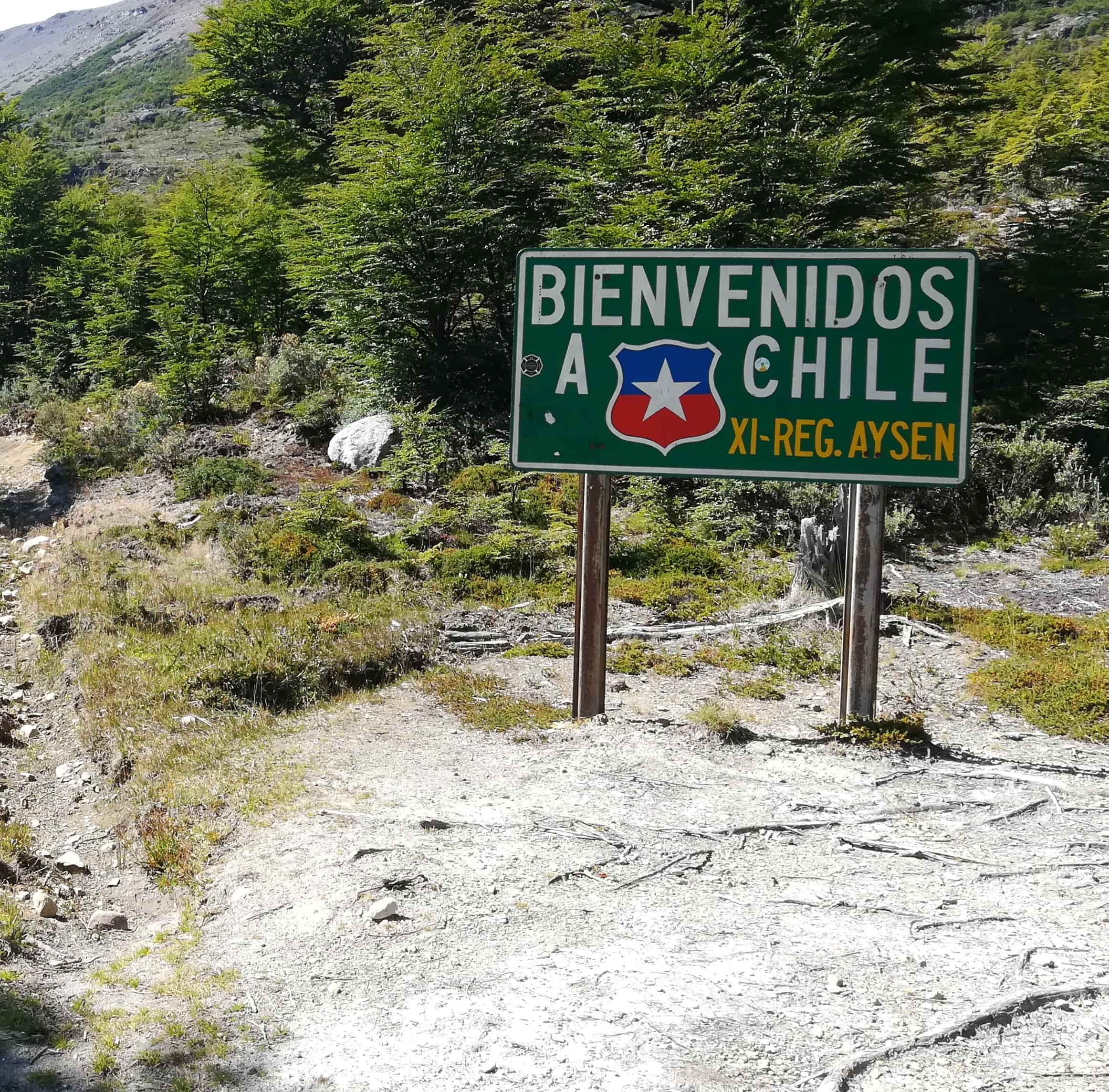
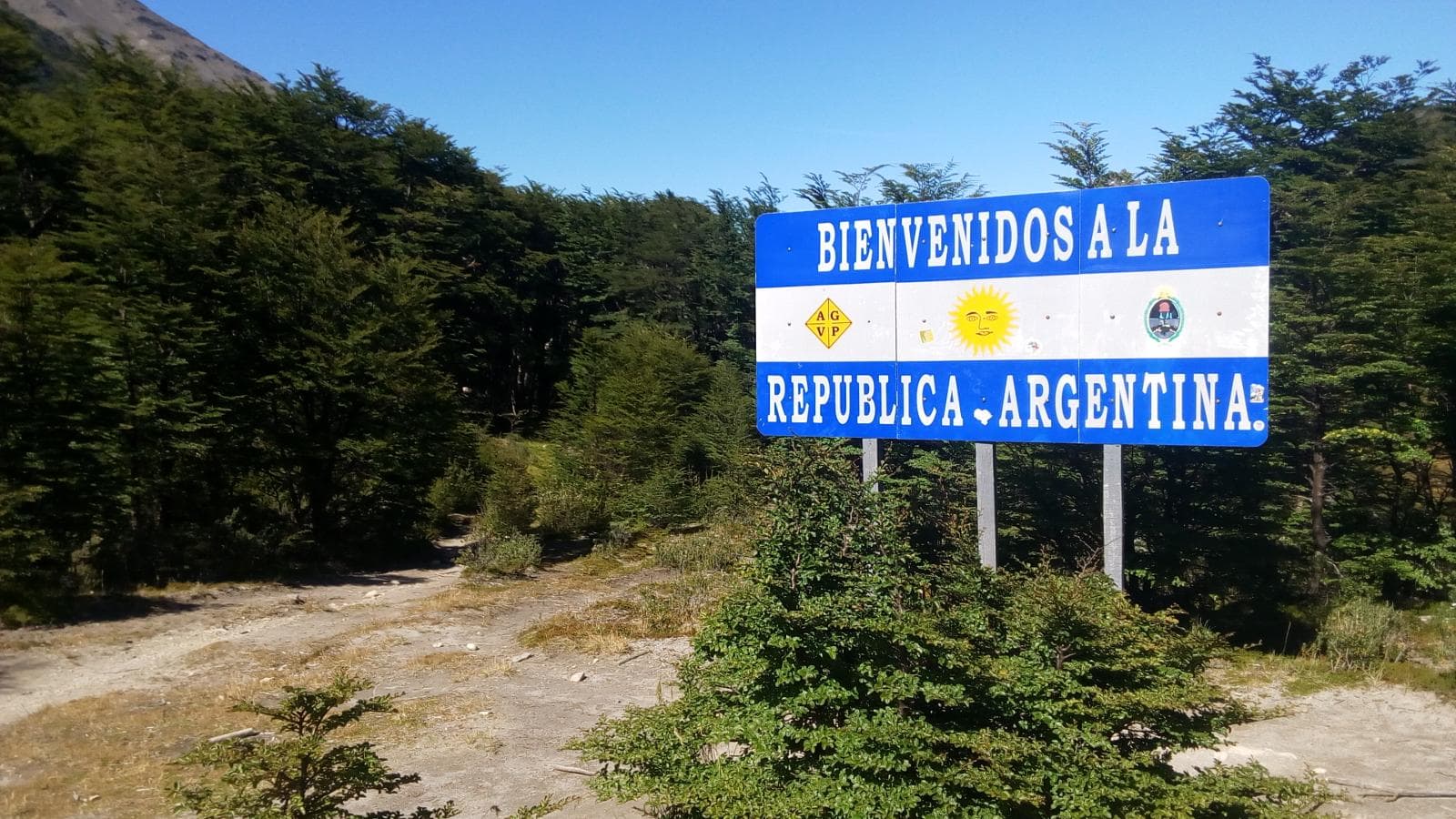
Important: This crossing is a binational trail and immigration procedures must be carried out both to enter Chile and to return to Argentina.
Note 1: It is necessary to coordinate reservations and transfers, mainly to cross Lake O’Higgins and in case you want to save time, a transfer from the electric river bridge to the southern tip of Lago del Desierto.
Note 2: The track of the route only marks the TRONCAL route, it is recommended to extend the trip a little and visit as much as possible at each point.
Note 3: The track goes along the Lago del Desierto, but you can also hire a navigation. You can also hire horses or 4×4 in the Punta Norte – Candelario Mansilla section.
Use the described information only as a reference, and before starting it is recommended to go to the Visitors Center “Cerferino Fonzo” (El Chaltén) or the Information Center (Villa O’Higgins) to get updated information about the route.
Stage 1: Torre Glacier
This stage begins on the trail to Laguna Torre and ends at D’Agostini camp.
At the end of the stage you can see the Solo, Grande, Adela, Torre and their respective glaciers.
Stage 2: Fitz Roy Glacier
This stage begins at D’Agostini camp and ends at Poincenot camp.
Both camps are joined by the Mother and Daughter trail (approximately 9 km / 5.5 mi), where the first stretch is uphill.
From Poincenot you can climb up to Laguna de los Tres (More info: Laguna de los Tres).
Stage 3: Piedras Blancas Glacier
This stage starts at Poincenot camp and ends at Piedra del Fraile refuge.
Leaving Poincenot, follow the trail to Puente del Río Eléctrico, where halfway you can see the Piedras Blancas glacier.
From the fork you can make the connection with the trail that goes to the Piedra del Fraile refuge (More info: Paso del cuadrado).
Stage 4: Marconi Glacier – Huemul Glacier
This stage starts at the Piedra del Fraile shelter and ends at the southern end of Lago del Desierto.
This stage can be done walking or having previously coordinated a transfer from the Electric River Bridge to the south end of Lago del Desierto.
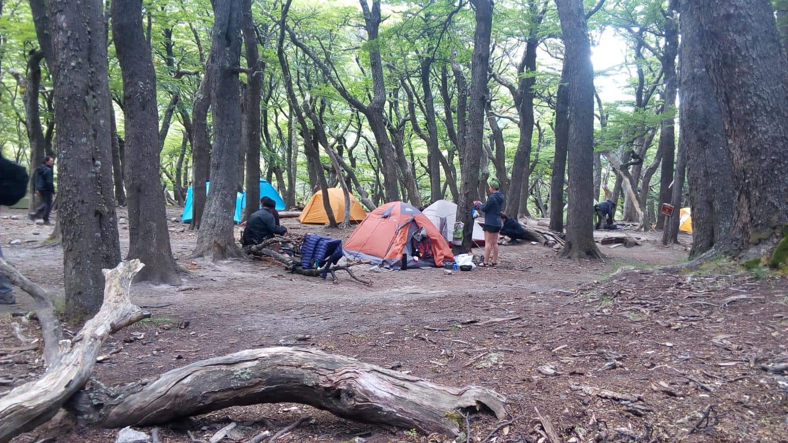
There are several campsites and cabins, and you can also trek to the Huemul Glacier.
Stage 5: Vespignani Glacier
This stage starts at the south end of Lago del Desierto and ends at the north end of Lago del Desierto.
In this stage we can choose to navigate the Lago del Desierto (and in this way save 1 day of the trip) or continue with the hike along the Lago del Desierto (approximately 6 hours of walking in unstable terrain, but very beautiful).
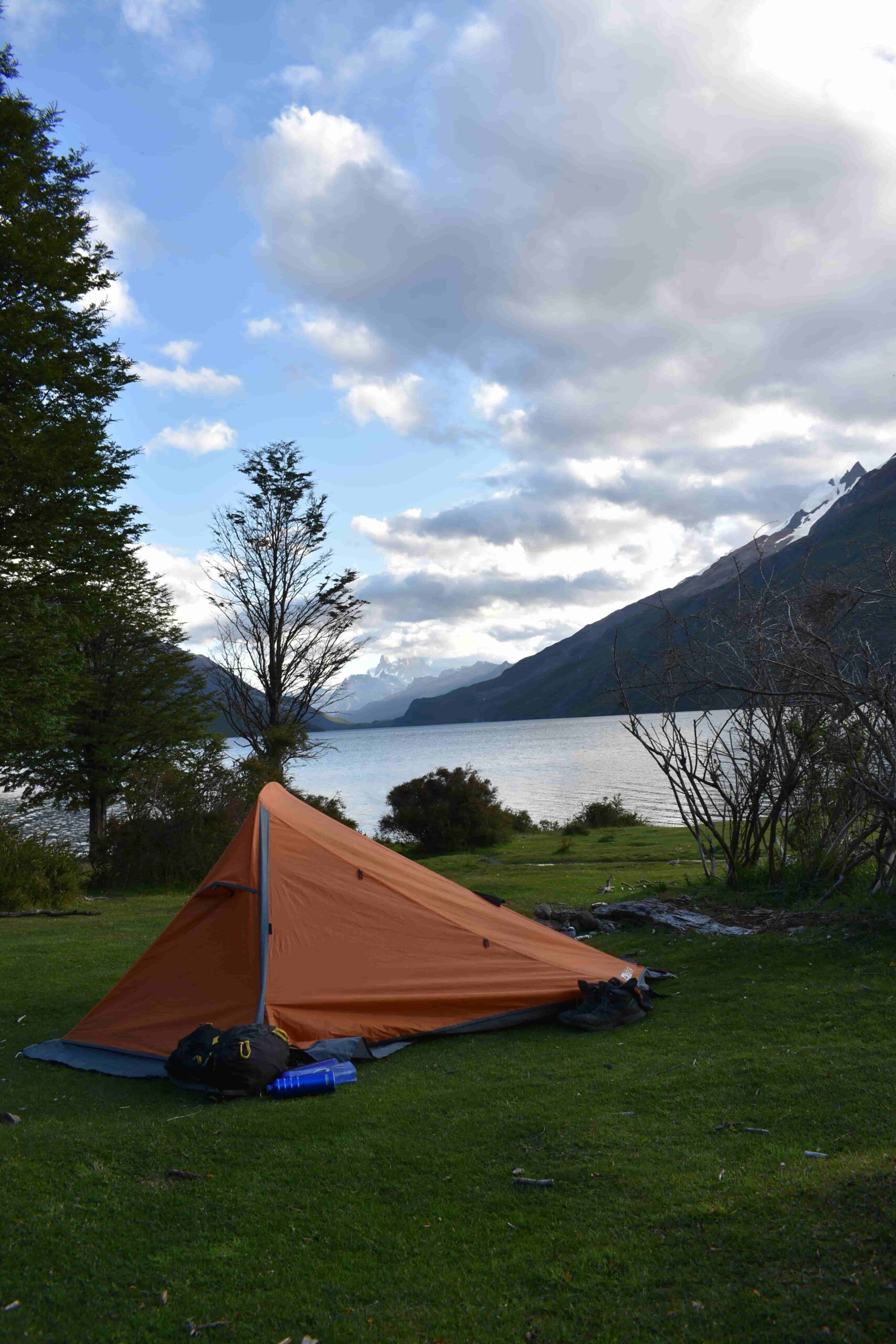
At the north end is the Argentinean Gendarmerie, where we will be able to do the migratory procedures to enter Chilean territory, and also to use the camping site.
Tip: If the weather is good, it is recommended to wait for sunrise and look in the direction of Fitz Roy.
Stage 6: O’Higgins Glacier
This stage begins at the northern end of Lago del Desierto and ends at Candelario Mansilla.
Possibly the longest stage of the journey. The route begins in Gendarmería Argentina and ends in Candelario Mansilla (passing through the Hito and making the migration in Carabineros de Chile). Depending on the physical condition of each person, the trip can last between 7 and 8 hours.
In Candelario Mansilla we will be able to camp, eat something and wait for the next day’s barge.
Stage 7: Mosco Glacier and Tigre Glacier
This stage begins in Candelario Mansilla and ends in Villa O’Higgins.
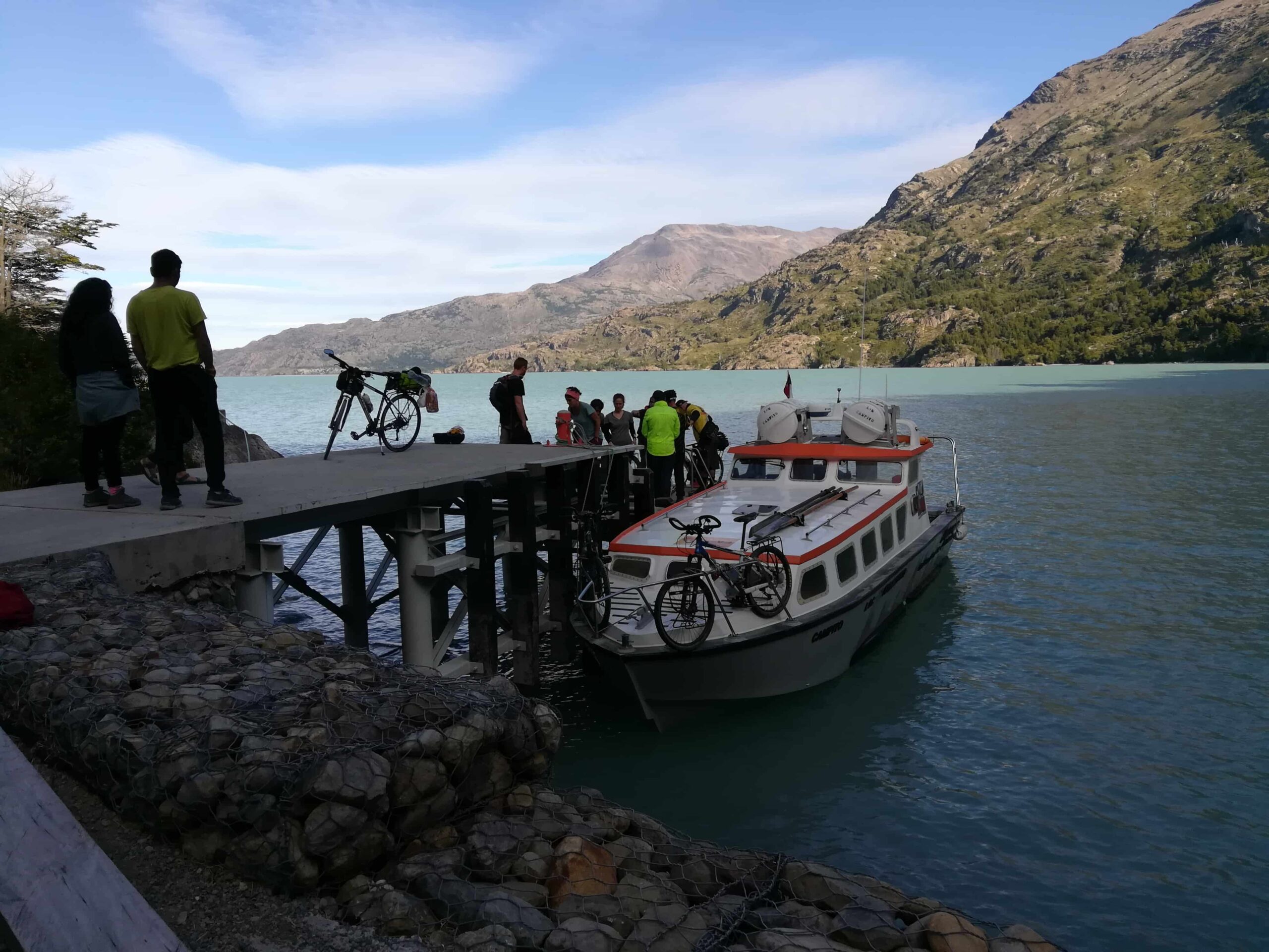
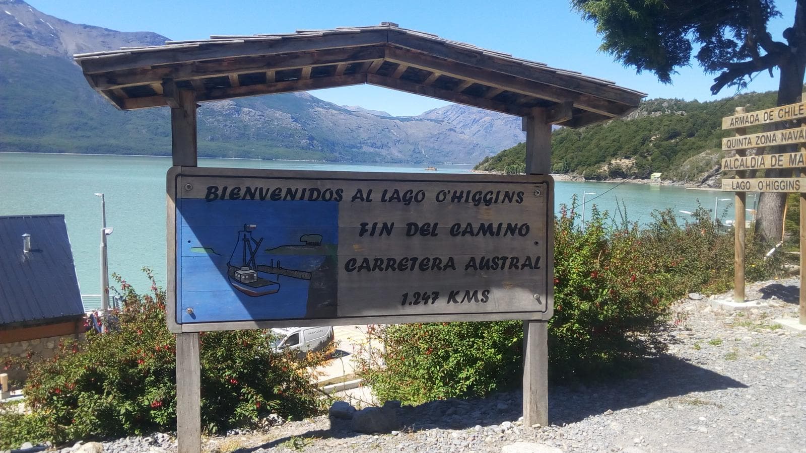
In the last stage of the trip, you will cross Lake O’Higgins (for this it is necessary to book the crossing in advance, there are several Chilean companies that make this section). The trip is approximately 51 km (31.6 mi), but can be combined with a visit to the O’Higgins Glacier (again, book in advance because it is not done every day and depends on the weather).
Once you get to Puerto Bahamondes, you can take a transfer to Villa O’Higgins.
Recommended: Visit the El Mosco Glacier Park.
Total distance of the trip: 136 km (84.5 mi), additionally there are points of interest that can extend the trip.
Total estimated time: 8 days and 7 nights.
About the equipment:
See: How to pack for a Multi-Day Hike?.
See: What to pack for hiking in Patagonia?.
About the trek:
About the environment:
Before starting any trail, it is recommended to check the weather conditions. Additionally (and depending on the time of year and the type of the hike), it is recommended to check the time of sunrise and sunset.
We recommend the use of the following Apps (or their corresponding desktop version):
For more info about the weather and alternative Apps: click here.
🎯 Extras: This map in GPX and KML format is in the “Mapas” folder of the free Google Drive. To enter directly: click here.
Important: Use this track as a reference, it may contain errors. We recommend always be guided by the official signage and if in doubt, please contact the staff of Los Glaciares National Park.
TrekkingElChalten.com started as a project born from a group of friends passion for the mountains. Here you will learn about all the different activities you can partake in El Chaltén, the hiking capital of Argentina.
Designed by StreetSud – Servicios Digitales in Patagonia Argentina |
Copyright © 2024 | Trekking El Chalten