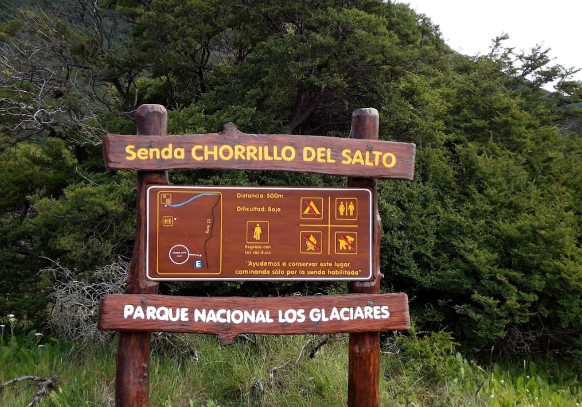
The trail begins at the end of San Martin Avenue and shares a small portion of the route with the trail to Laguna de los Tres, although it is also possible to continue straight along Provincial Route 41 up to the fork.
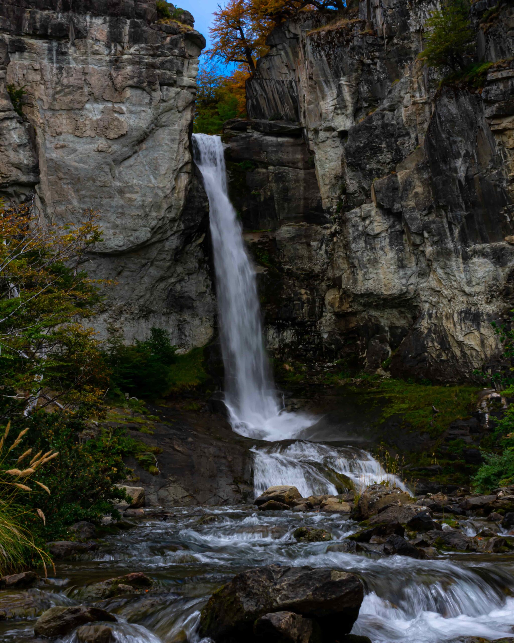
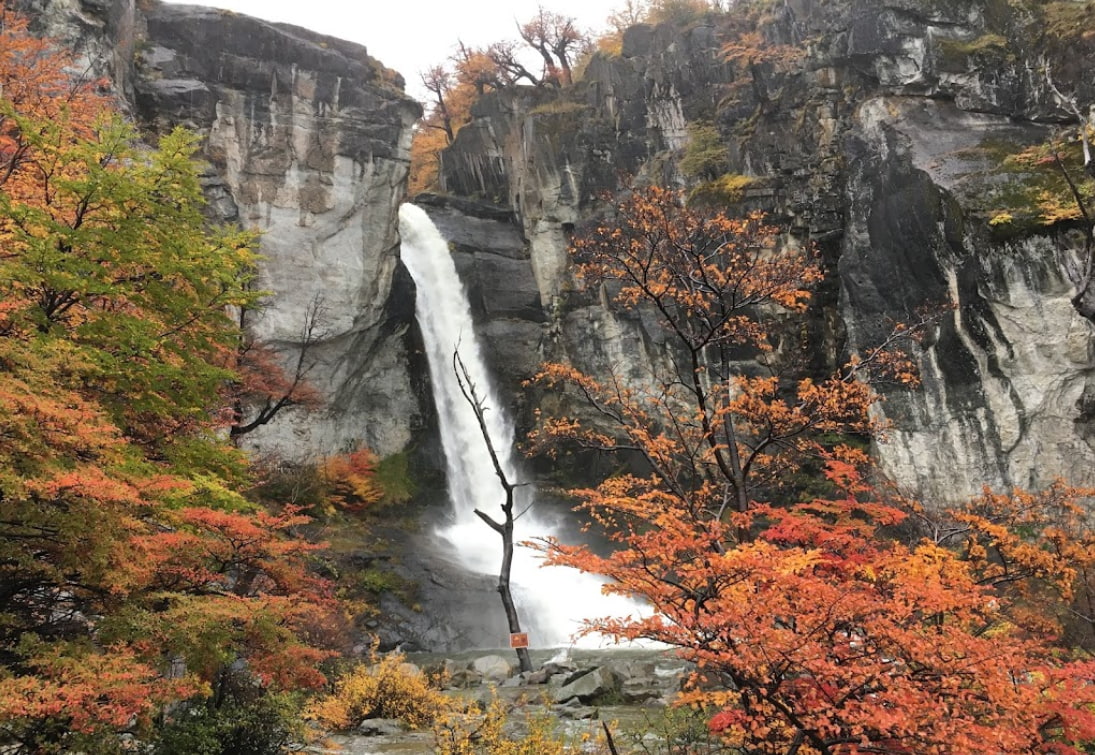
It is very well signposted and there are several points where it is possible to appreciate the Rio de las Vueltas.
Total distance (round trip): Approximately 7 km / 4.3 mi.
Estimated time (round trip): It depends on the physical conditions of each person, but we estimate about 1:30 / 2:00 hs in total.
Time: Full day tour. It is suggested to start early in the morning to take advantage of the maximum amount of daylight hours.
See: Recommended weather Apps.
See: How to pack for a day hike.
Before starting any trail, it is recommended to check the weather conditions. Additionally (and depending on the time of year and the type of the hike), it is recommended to check the time of sunrise and sunset.
We recommend the use of the following Apps (or their corresponding desktop version):
- WINDY.COM: Very useful to corroborate wind speed and gusts.
- YR.NO: With this app we will be able to check the temperature and precipitation.
For more info about the weather and alternative Apps: click here.